
Here at British Food and Travel, our tagline is “Celebrating the best of British food, countryside, and coastline.” We love the rugged moors of many of our National Parks and the many magnificent miles of coastline. But there are some parts of the British countryside that don’t get the recognition they deserve – inland counties with no beaches, no cliffs, but also no National Park-land. Today we are looking at one of these underappreciated counties as we prepare for the Bedfordshire Walking Festival.
Bedfordshire: Facts and Figures
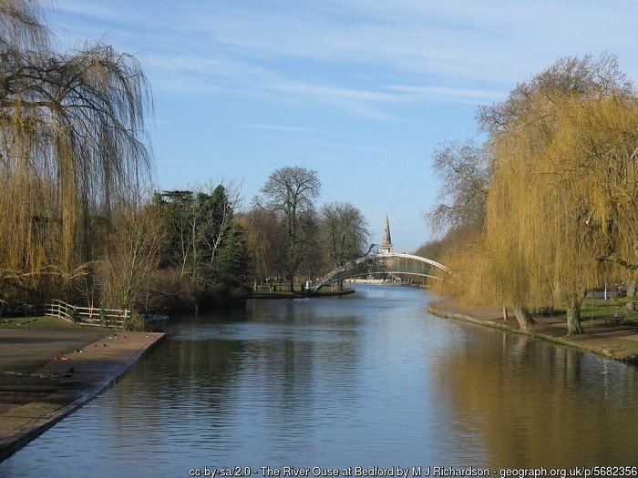
With an area of 477 square miles, Bedfordshire is in eastern England, bordered by Northamptonshire, Cambridgeshire, Hertfordshire, and Buckinghamshire. The county has a population of 664,000, with half of that concentrated in the two biggest towns: Luton and Bedford. The Chilterns run across the southern part of the county. The River Ouse flows through Bedford on its way further east to eventually reach the North Sea. Technically it’s the Great Ouse. Don’t be confused – several rivers called Ouse run across the UK.
If you’re keen to try a local speciality as you are walking, we suggest a Bedfordshire Clanger. This charming sealed pastry has meat at one end and apples, pears or jam at the other. Dinner and dessert all in one!
Walking in Bedfordshire
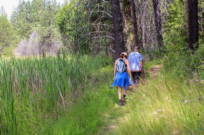
Many visitors come to Bedfordshire to visit Whipsnade Zoo, Woburn Abbey, Bedford Castle, and other historical sites. But don’t ignore the opportunities to follow a country path through woodland or along the river bank. Below are a few suggestions for popular walks to help you explore Bedfordshire.
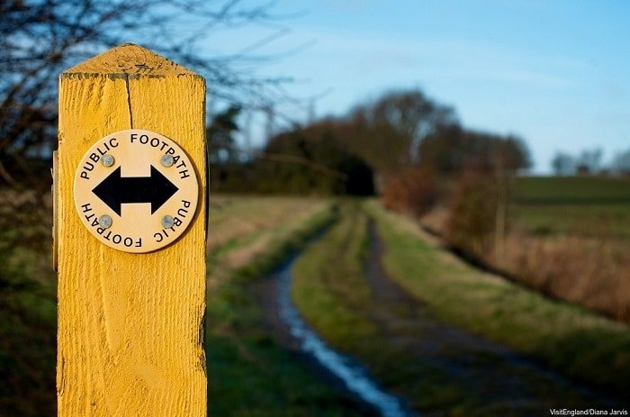
It’s hard to beat a pub walk, a nice leisurely stroll that ends with the reward of a pint. There are plenty of great pub walks in Bedfordshire. If you find yourself near Barton-le-Clay, the 2.5-mile walk from the village out through the Barton Hills Nature Reserve promises beautiful views and possibly even a wild horse sighting before leading you back to The Bull.
If you want to earn your pint and a Sunday roast, try the 6-mile circular walk through Clophill and Haynes. Pass the 18th century mansion at Haynes Park and Chicksand Wood, finishing at The Flying Horse in Clophill.
The circular walk around Dunstable Downs may reveal fossils from the ancient seabeds that tell of a long-gone era. Or you might catch a glimpse of the Chalk Hill Blue butterfly. The 6.5-mile route also passes an ancient Bronze Age burial ground and the Icknield Way, believed to be the oldest road in Britain. When the Romans arrived, this was already here!
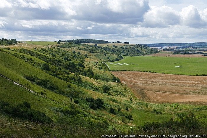
If the previous walk left you wanting something more challenging, here’s just the thing – the Three Counties Tops – and it also starts in Dunstable. Discover the highest points in Bedfordshire, Buckinghamshire, and Hertfordshire as you walk a 17-mile stretch of the Chilterns. This walk is ranked moderate to hard, not just because of the length but because of the up and down to reach each high point.
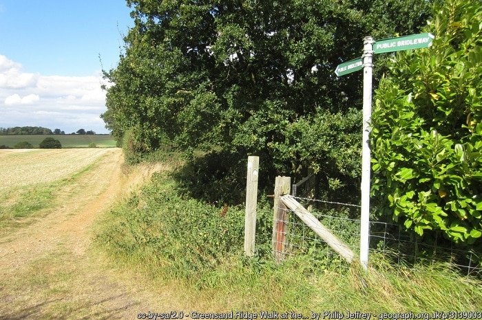
The 40-mile Greensand Ridge Walk from Leighton Buzzard to Gamlingay in Cambridgeshire is perfectly suited to being spread over several days. Cross gentle hills and clay vales as you keep an eye out for local wildlife,including the muntjac deer, which also features on the trail markers.
The Festival
The 2018 Bedfordshire Walking Festival runs from September 8th to the 16th. The schedule includes more than 50 walks for all ages and abilities. Try a taster session for Nordic walking if you’re fairly new to getting out and about. Or if you’re more of an outdoors person already, why not try a full-day hike? You can find a full schedule of each day’s events, routes, and guide contact information at the event’s website.
As always, remember to wear comfortable shoes or walking boots, take some water, and don’t forget a raincoat!


One thought on “Exploring Bedfordshire on Foot”
Comments are closed.